|
|
|
|
||
|
|
||||
|
|
|
|
||
|
|
|
|
||
|
|
|
Michael A. Stecker
Home
You Tube
"New
Zealand 1980" slide
show at:
New Zealand 1980 .mp4 slide show:
You Tube "God
Defend New Zealand Time-lapse Scenic" video at:
New Zealand Pages:
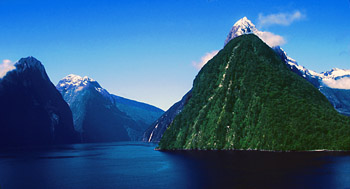
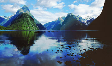
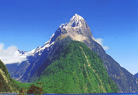
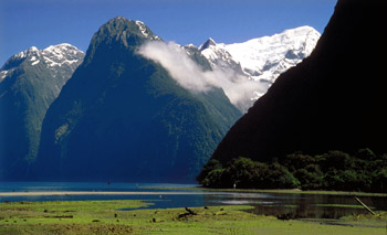
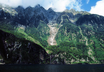
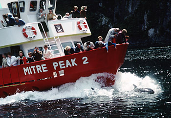
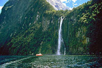
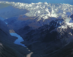
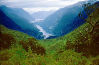
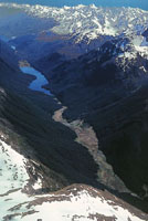
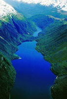
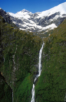
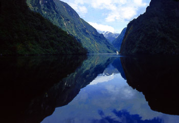
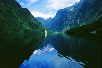
Fjordland National Park, New Zealand's largest national
park -- est. 1952, is located in the southwest portion of the South
Island. It stretches over 124 miles (200 kilometers), from Milford Sound
in the north to Preservation Inlet in the south, and covers 1.25 million
hectares. The Tasman Coast lies on its western boundary, to the east is a
drier lower elevation region defined by large lakes and to the north lies
the Southern Alps. Fjordland's serrated coastline and deep branching lakes
were carved out by glaciers millions of years ago, leaving behind a land
internationally acclaimed for its spectacular scenery, isolation and
uninhabited environment. Fiordland's mountains are highest in the north
reaching 2746 meters (9009 feet) at Mt Tutoko of the Darran Range.
Glaciers flowing from the mountains to the west gouge sounds (fjords) like
Milford, Doubtful and Dusky, while ice flowing to the east and south form
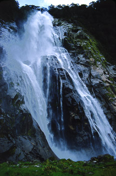
lakes like Te Anau and Manapouri. Glaciation also results in a combination
of deep valleys, sheer rock cliffs, hanging waterfalls (e.g. Sutherland
and Stirling) and deep blue lakes. Fiordland has very high precipitation
resulting in glaciers in the mountains and a high average rainfall of
about 250 inches a year at the lower elevations. |
|
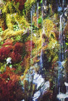
Milford Sound Photos |
|
|
|
|
||
|
|
||||
|
|
|
|
||
|
|
|
|
||
|
|
|
Fjordland National Park
Photos |
|
|
|
|
||
|
|
||||
|
|
|
|
||
|
|
||||
|
|
|
|
||
|
|
||||
|
|